Central Kalimantan Bordering Provinces: West Kalimantan, South Kalimantan, East Kalimantan
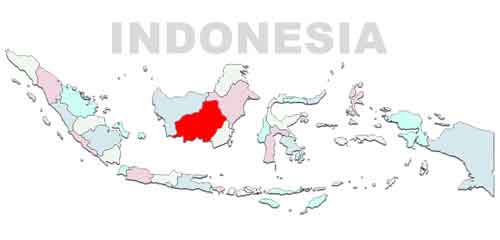
Regional Map: Indonesia map, Asia Map
Where is central kalimantan?
Central Kalimantan is the biggest province on Borneo island, about 253 800 km² widths, and its territory is mostly forest. The northern part is mountainous.
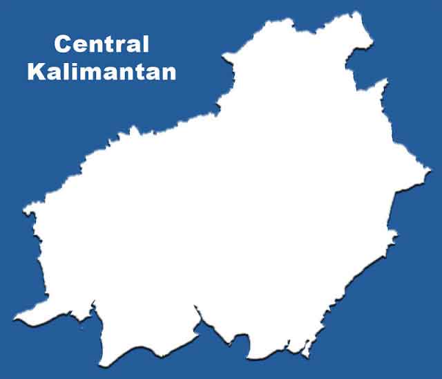
List Regency: South Barito, East Barito, North Barito, Gunung Mas, Kapuas, Katingan, West Kotawaringin, East Kotawaringin, Lamandau, Murung Raya, Pulang Pisau, Sukamara, Seruyan, Palangka Raya
